Search
Search
Search

Riset

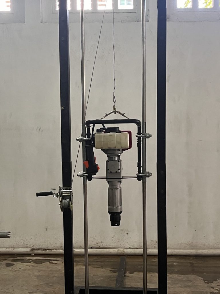
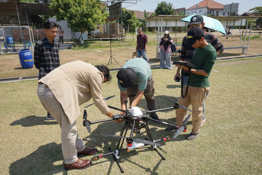
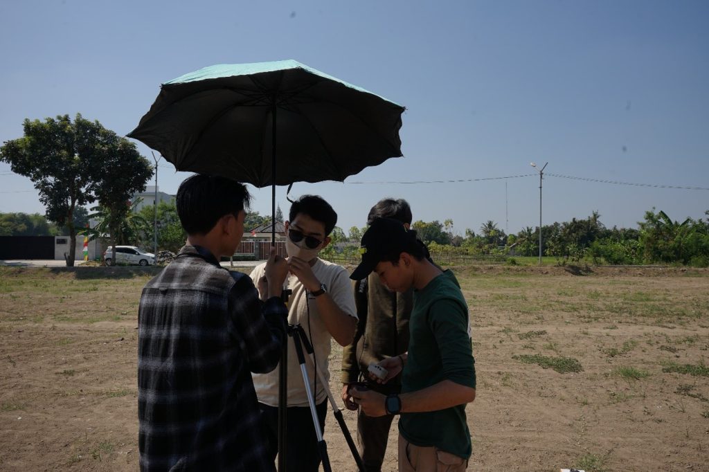
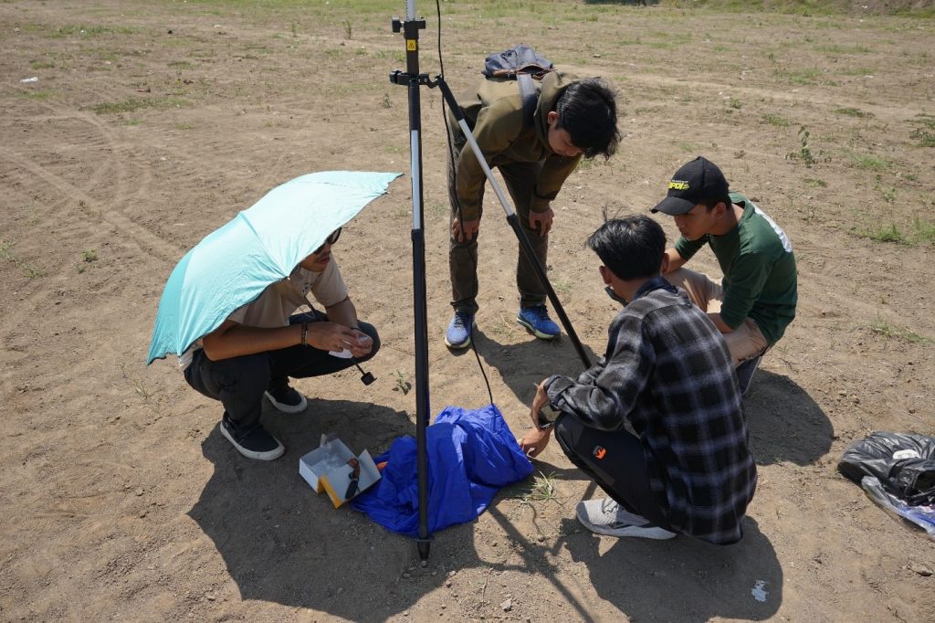
Breaking Ground with Thermodrillsy Study Elaboration: Integration of Science, Engineering, and Industry Faculties

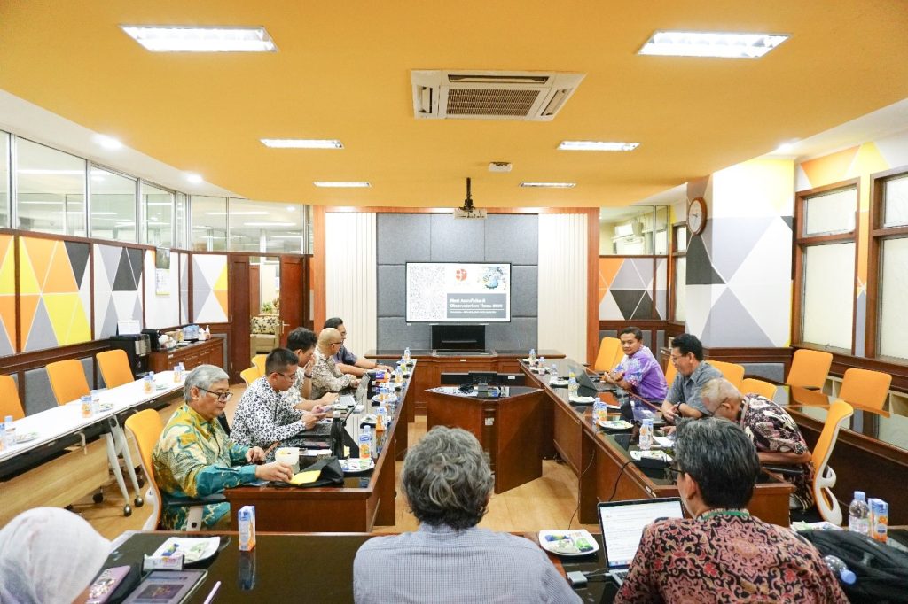
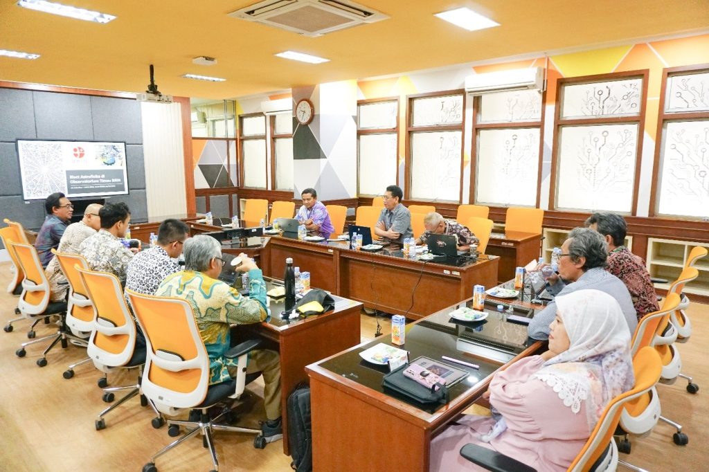
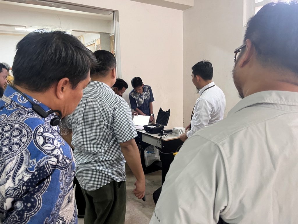
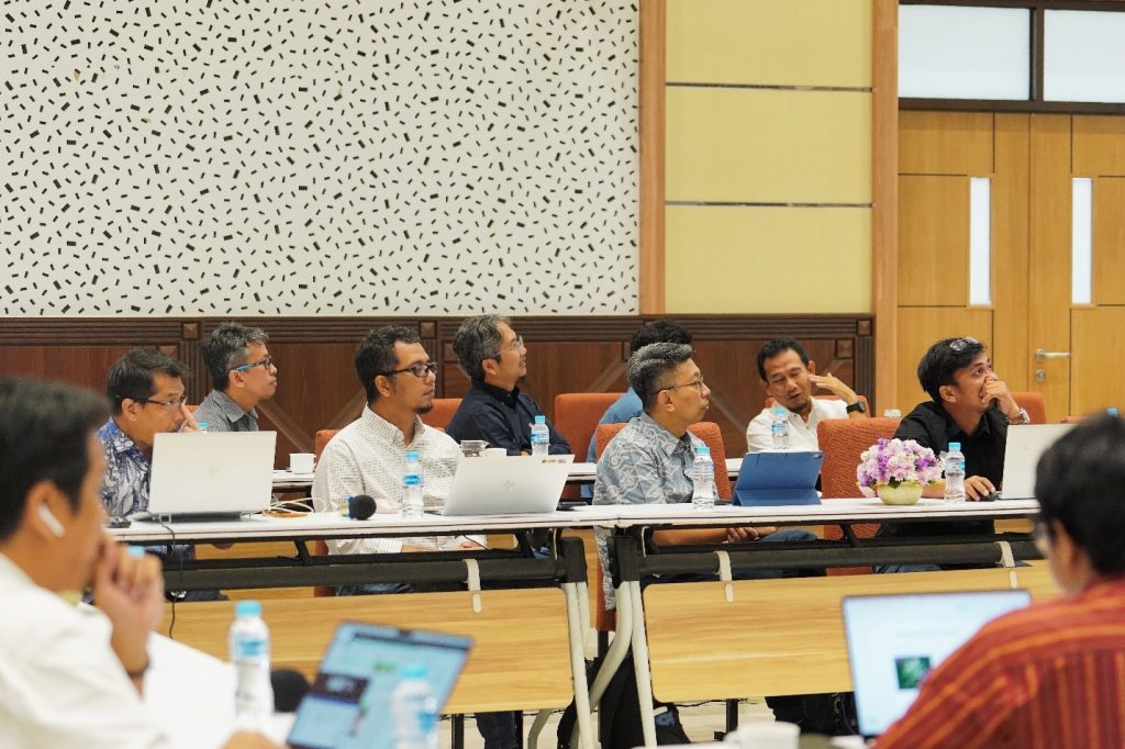
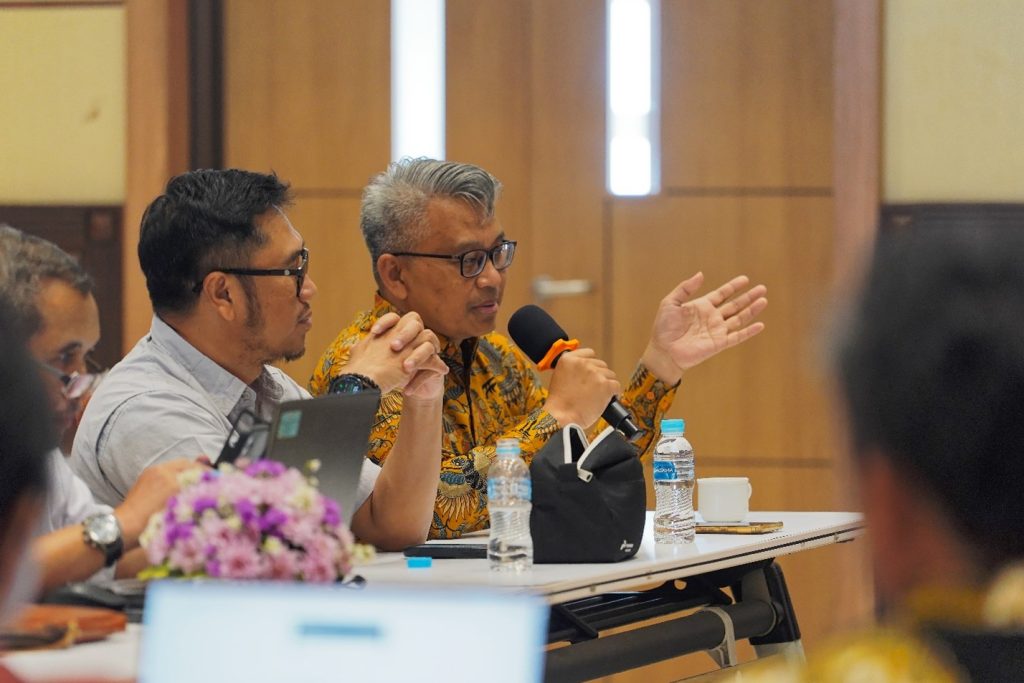
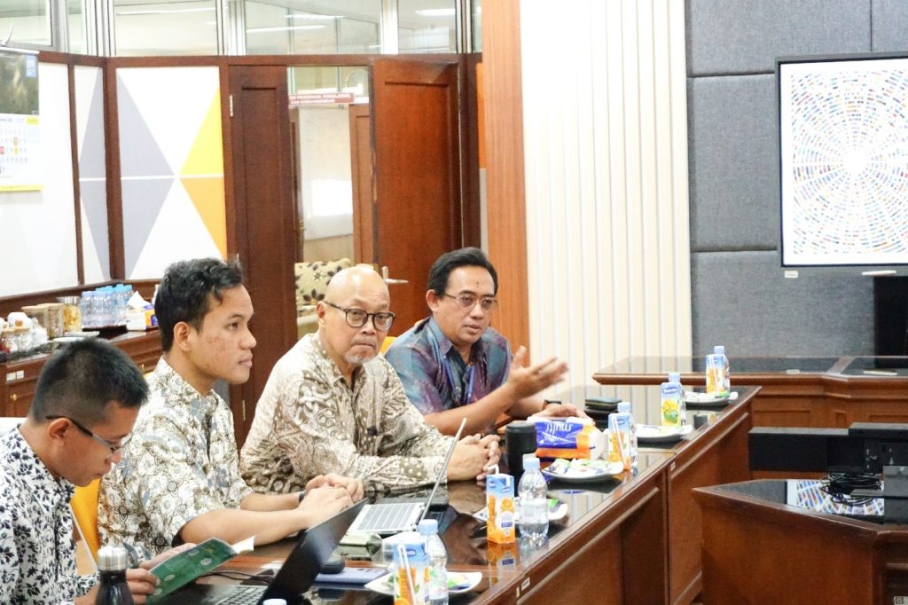
Discussion involving all parties involved in Thermodrillsy research, FMIPA UGM, FT UGM, Elnusa, and Pertamina Hulu Energy (01/02) at the Merapi Room, Department of Physics, FMIPA UGM (Photo by: Pamungkas Y)


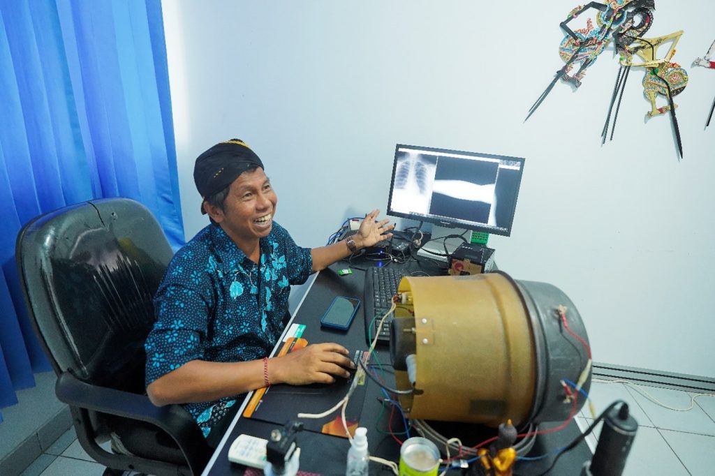
In the context of elaborating the ongoing study collaboration between the Faculty of Mathematics and Natural Sciences (FMIPA) UGM, the Faculty of Engineering UGM, Pertamina Hulu Energi, and Elnusa, a progress meeting on the development study of Thermodrillsy was held on 1 – 2 February 2024 in the Merapi Room, Department of Physics, FMIPA UGM.

Dr. Afif Rakhman, Head of the Geophysics Laboratory, FMIPA UGM, stated during the opening of the event, “For us, this collaboration represents something new and a significant challenge. Thus, within the Department of Physics (DF) FMIPA UGM, we involve the Department of Industrial Mechanical Engineering (DTMI), Faculty of Engineering UGM, in conducting Pertabocsy research using Thermodrillsy.”

Pertabocsy is a method initially developed by Pertamina to map hydrocarbon potential based on temperature. The integration of industry (Pertamina) with academia (UGM) in this case, the Geophysics and Industrial Mechanical Engineering programs, is expected to address field challenges effectively.

“This research will be applied in swampy environments,” Dr. Afif explained the field challenges affecting the specifications of the equipment to be developed. Dr. Ir. Teguh Pudji Purwanto, representing DTMI, affirmed this statement. “The soil has bearing capacity, so our equipment must be able to handle this.”

Multidisciplinary integration can be the key to success. The collaboration fostered by the Department of Physics, FMIPA UGM, reflects point 17, which is a partnership for goal achievement through collaborative field study activities in fulfilling hydrocarbon resource needs.

Author: Shofi Rahmadini

Photos: Pamungkas Yuliantoro

Editor: Febriska Noor Fitriana

Read More

FMIPA’s Intelligent System Predicts Presence of Hydrocarbons in Challenging Zones

The Opening of Progress Meeting Collaboration between PT. Pertamina Zone 4 and FMIPA UGM


The artificial intelligence system developed by the FMIPA and Pertamina EP Zone 4 is capable of predicting the presence of hydrocarbons in layers that are difficult to detect. Hydrocarbons typically have relatively high resistivity values and high-contrast values (LRLC – Low Resistivity Low Contrast reservoirs). However, it is not uncommon for hydrocarbons to hide in zones with low rock resistivity values. This makes hydrocarbon zone analysis very challenging.

“FMIPA is very grateful for the digital transformation study challenge by utilizing this machine learning technology. Studies like these must continue to be conducted so that Indonesia not only becomes a user but also a creator of technology,” said Wiwit Suryanto, Vice Dean for Research and Community Service, on Wednesday, Jan 31st, 2024, at the Awann Sewu Hotel, Semarang.

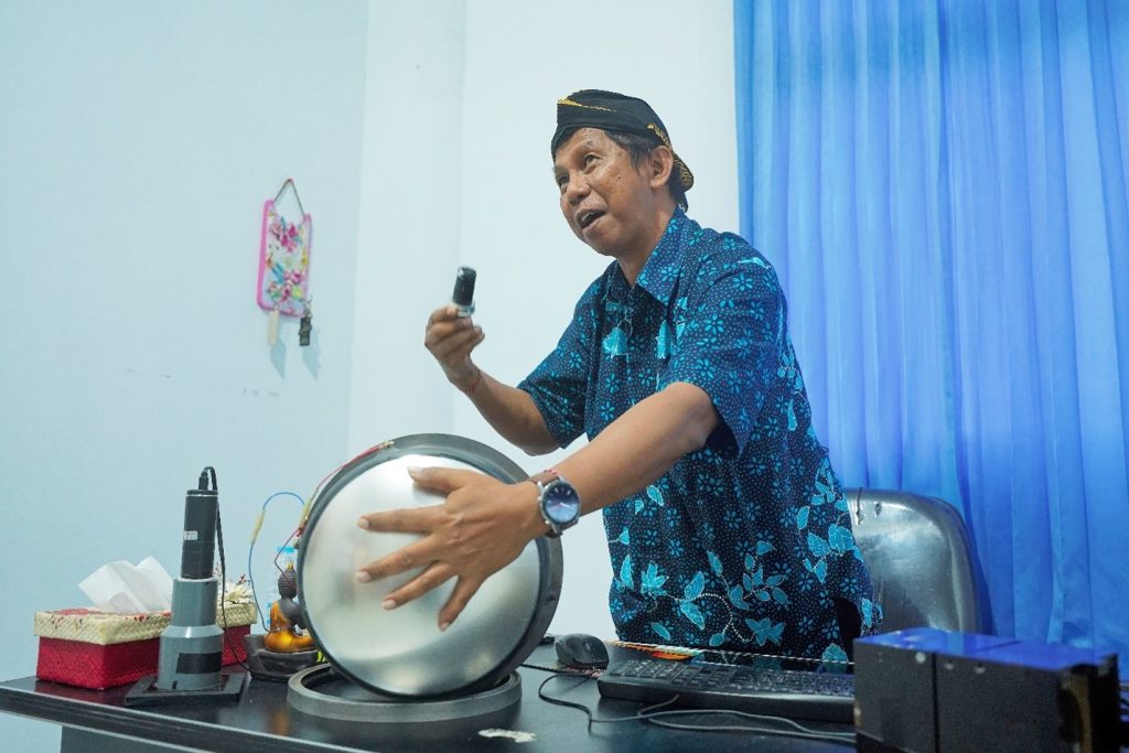
Presentation of Study Progress by Dr. Sudarmaji, M.Sc.

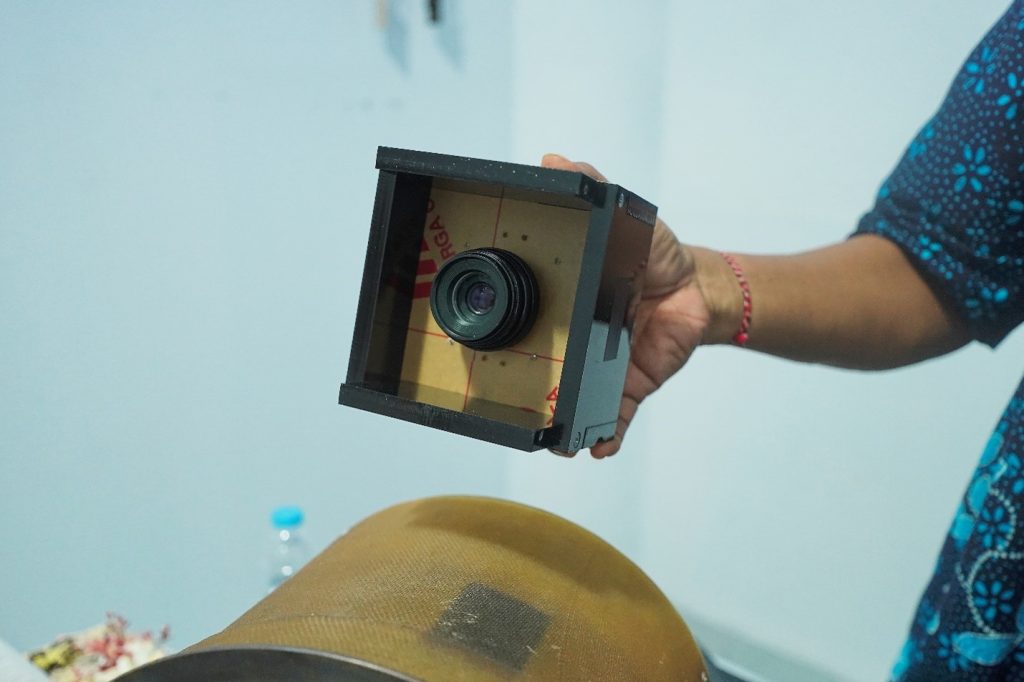
In addition to machine learning technology for LRLC cases, the FMIPA team has also developed fault analysis technology on seismic data using computer vision and geophysics. This technology can expedite the process of identifying reservoirs and hydrocarbon traps. On this occasion, the FMIPA team led by Sudarmaji and Pertamina EP Zone 4 also discussed potential collaborative research opportunities to optimize hydrocarbon production.

Mr. Yan Yan Gustian from PT. Pertamina EP Zone 4 is currently delivering a speech

The research team from FMIPA UGM is currently in discussion before the event commences

Previously, FMIPA and Pertamina EP Zone 4 collaborated on machine learning research for Low Resistivity Low Contrast (LRLC) Studies and Fault Analysis. This study was conducted from 2023 to 2024 and involved several experts from the Department of Physics, Department of Computer Science and Electronics, and additional experts from the UGM Geology Department. This research was conducted to support SDG 7 on clean and affordable energy because the methods and technologies used are environmentally friendly and operationally cost-effective, as well as SDG 9 on industry, innovation, and infrastructure in hydrocarbon research development.


Author: T. Marwan Irnaka, S.Si., M.Sc., Dr.

Editor: Febriska Noor Fitriana

Photos: Nindy Husnul Majid

SDGs:

Read More

Pakar UGM Ingatkan Bahaya Banjir Bandang Pasca Erupsi Gunung Semeru

UGM experts have warned of secondary or indirect dangers resulting from the eruption of Mount Semeru. In addition to the eruption and pyroclastic flow that occurred on December 4th, there is a potential for secondary hazards such as flash floods carrying volcanic material in upstream areas.

“Even though the eruption has ended, the potential for disaster threats still exists. In December, January, and February, we need to be aware of the potential for lava flows and possible subsequent eruptions,” said Dr. Danang Sri Hadmoko S.Si., M.Sc., a Faculty Member of the UGM Geography Department, during a press conference at the FMIPA UGM Auditorium on Monday (6/12).

He explained that the La Niña phenomenon is bringing the potential for heavy rainfall, so people in areas with rivers originating from Mount Semeru need to be cautious. Residents should also avoid activities within the designated danger radius established by local authorities.

“Some rivers originating from Semeru need to be monitored so that when lava flows occur in the middle and lower parts, where many settlements are located, lives can be saved,” he said.

He also pointed out that there is a potential for hot materials, so evacuation processes need to be carried out carefully and involve parties with an understanding of the volcano’s conditions.

Residents in the eruption-affected areas are advised to wear masks and protective eyewear to avoid health hazards from volcanic ash, which contains silica and is of micro size.

Dr. Wahyudi, M.S., a UGM Geophysics expert, explained that since 2012, Mount Semeru had been classified as Level 2 or “Waspada” (Watch). Then, in September 2020, signs of activity were observed in the form of white and gray smoke plumes reaching heights of 200-700 meters above the peak of Semeru.

Similar activity continued in October 2020, reaching heights of 200-1000 meters, and on December 1, 2020, a pyroclastic flow occurred, extending 2 to 11 kilometers southeast toward Kobokan. In the last 90 days, there has been an increase in seismic activity, especially volcanic earthquakes.

“Some reached 100 times a day, which can serve as a precursor to a larger eruption,” said Wahyudi.

According to Wahyudi, the collapse of the lava dome triggered by heavy rainfall led to the occurrence of the pyroclastic flow, which traveled quite a distance, reaching 11 kilometers. Scientifically, heavy rainfall can cause instability in lava deposits.

“In some cases, external factors like heavy rainfall can indeed cause thermal stress and trigger instability within the lava dome. The lava dome becomes unstable, and the presence of heavy rainfall triggers landslides,” he explained.

To determine the dominant factors causing the eruption on December 4th, he suggested conducting an integrated data analysis covering volcanic earthquake data, deformation, gas emissions, and rainfall data over the past few months. These data should be correlated with events, including small and large-scale collapses.

Writer : Gloria

Source : https://ugm.ac.id/id/berita/22051-pakar-ugm-ingatkan-bahaya-banjir-bandang-pasca-erupsi-gunung-semeru

Read More
Translate