UGM experts have warned of secondary or indirect dangers resulting from the eruption of Mount Semeru. In addition to the eruption and pyroclastic flow that occurred on December 4th, there is a potential for secondary hazards such as flash floods carrying volcanic material in upstream areas.
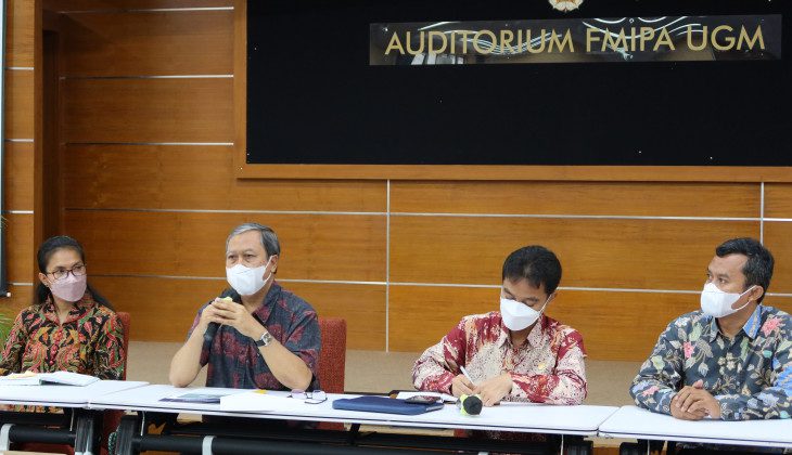
“Even though the eruption has ended, the potential for disaster threats still exists. In December, January, and February, we need to be aware of the potential for lava flows and possible subsequent eruptions,” said Dr. Danang Sri Hadmoko S.Si., M.Sc., a Faculty Member of the UGM Geography Department, during a press conference at the FMIPA UGM Auditorium on Monday (6/12).
He explained that the La Niña phenomenon is bringing the potential for heavy rainfall, so people in areas with rivers originating from Mount Semeru need to be cautious. Residents should also avoid activities within the designated danger radius established by local authorities.
“Some rivers originating from Semeru need to be monitored so that when lava flows occur in the middle and lower parts, where many settlements are located, lives can be saved,” he said.
He also pointed out that there is a potential for hot materials, so evacuation processes need to be carried out carefully and involve parties with an understanding of the volcano’s conditions.
Residents in the eruption-affected areas are advised to wear masks and protective eyewear to avoid health hazards from volcanic ash, which contains silica and is of micro size.
Dr. Wahyudi, M.S., a UGM Geophysics expert, explained that since 2012, Mount Semeru had been classified as Level 2 or “Waspada” (Watch). Then, in September 2020, signs of activity were observed in the form of white and gray smoke plumes reaching heights of 200-700 meters above the peak of Semeru.
Similar activity continued in October 2020, reaching heights of 200-1000 meters, and on December 1, 2020, a pyroclastic flow occurred, extending 2 to 11 kilometers southeast toward Kobokan. In the last 90 days, there has been an increase in seismic activity, especially volcanic earthquakes.
“Some reached 100 times a day, which can serve as a precursor to a larger eruption,” said Wahyudi.
According to Wahyudi, the collapse of the lava dome triggered by heavy rainfall led to the occurrence of the pyroclastic flow, which traveled quite a distance, reaching 11 kilometers. Scientifically, heavy rainfall can cause instability in lava deposits.
“In some cases, external factors like heavy rainfall can indeed cause thermal stress and trigger instability within the lava dome. The lava dome becomes unstable, and the presence of heavy rainfall triggers landslides,” he explained.
To determine the dominant factors causing the eruption on December 4th, he suggested conducting an integrated data analysis covering volcanic earthquake data, deformation, gas emissions, and rainfall data over the past few months. These data should be correlated with events, including small and large-scale collapses.
Writer : Gloria
Source : https://ugm.ac.id/id/berita/22051-pakar-ugm-ingatkan-bahaya-banjir-bandang-pasca-erupsi-gunung-semeru